Where Infrastructure helps most
It creates the most value when users want to bring map work, project data and technical output into one workflow.
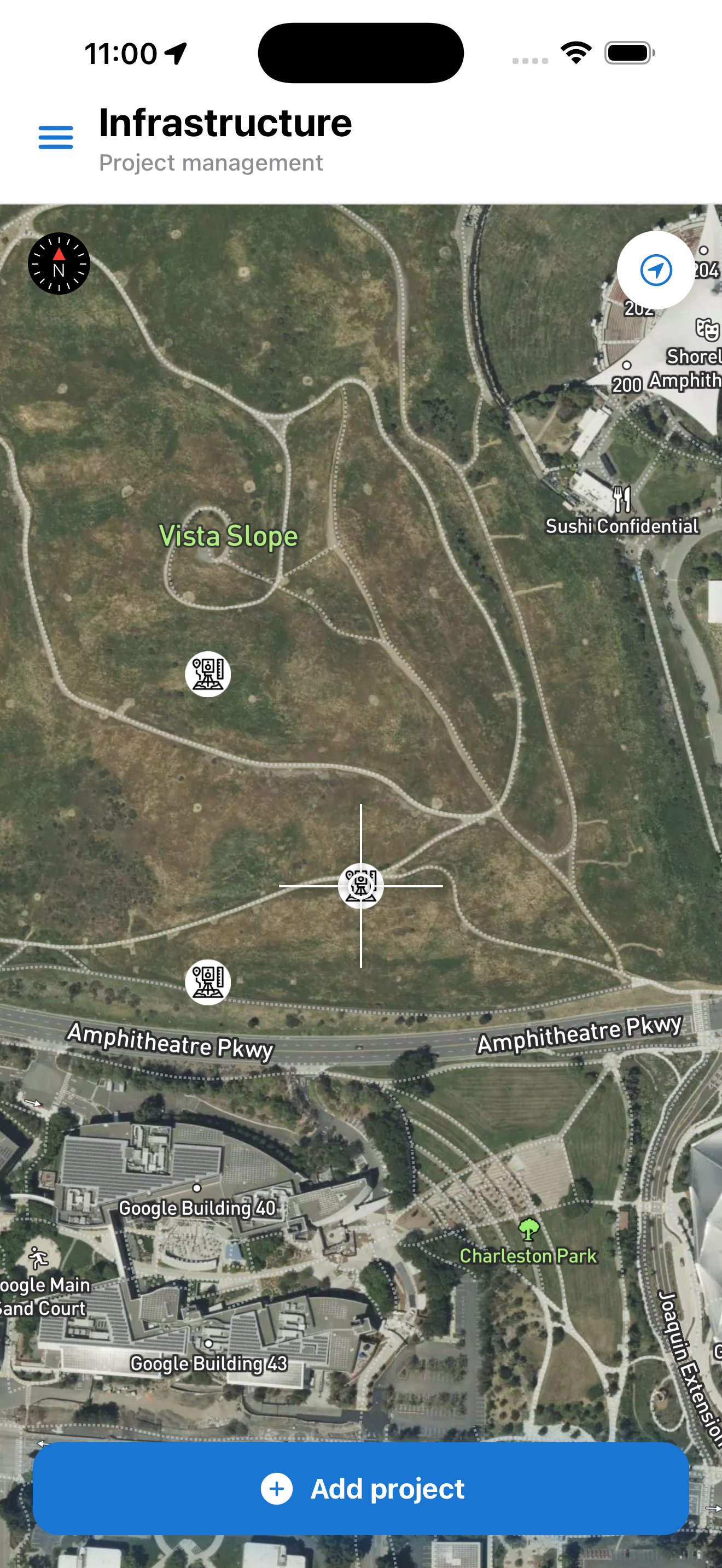
- Field mapping of infrastructure
- Organisation of data by project and attributes
- Transition from map work to DXF documentation
Why this is the central product page
Infrastructure is not just one feature, but the central module around which the other GeoKantar tools naturally connect.
- Connects coordinates, projects and infrastructure
- Acts as an entry point into a broader workflow system
- Works as the main sales and demo landing page
Which project types it covers
The page is strongest when it clearly shows that Infrastructure is not a generic map but a tool for specific professional scenarios.
- Water, sewage and stormwater infrastructure
- Electrical and lighting networks
- Field projects that end in CAD documentation