Most common use cases
This tool is most useful when you already have CAD geometry and want to review or share it quickly through Google Earth.
- Visualising DXF geometry in Google Earth
- Reviewing only selected layers
- Fast control of areas and element layout
Why this page stands on its own
The focus is not only file conversion, but a specific use case: turning DXF into a clearer geographic view.
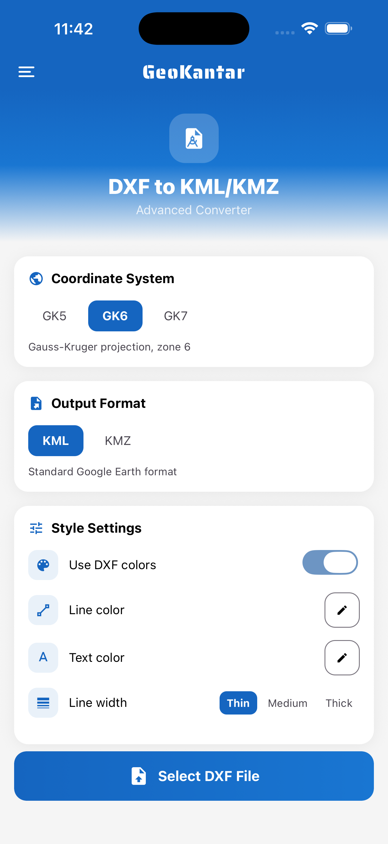
- Layer selection before export
- Support for ACI colours and style adjustments
- KML and KMZ output for different scenarios
Who uses this converter most
It is especially useful for teams that need a fast field or presentation check without opening full CAD software.
- Surveyors reviewing routes in Google Earth
- Designers sharing a clearer view with collaborators
- Utility and infrastructure projects with multiple layers